EarthVista: Live Satellite Map
EarthVista: Live Satellite Map offers a comprehensive suite of tools for exploring the world. It combines 3D satellite imagery, live public camera feeds from famous landmarks, real-time GPS location tracking, and speed measurement. With over 10,000 installs, this app is ideal for travelers, geography enthusiasts, and anyone curious about live global views. Developed by Qzee Games, it's a free tool with in-app purchases.
Pros
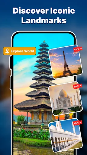
- Live camera feeds from iconic landmarks like Eiffel Tower and Taj Mahal
- Real-time GPS location and speed measurement
- Immersive 3D satellite and panoramic views
- Lightweight app with smooth performance
- Free to download with optional in-app purchases
Cons
- Limited to publicly available camera feeds; some landmarks may have no live feed
- Requires internet connection for most features
- No offline maps or satellite imagery
EarthVista: Live Satellite Map Screenshots
Official app screenshots from the Google Play Store.
About EarthVista: Live Satellite Map
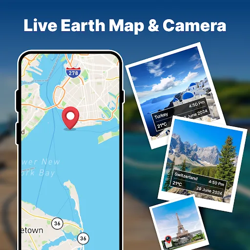
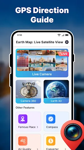
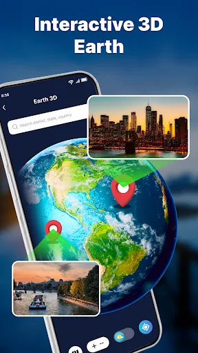
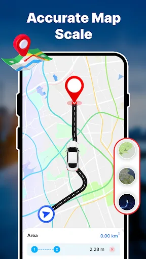
EarthVista puts the entire planet at your fingertips. Whether you want to explore the world in stunning 3D, watch live public camera feeds from famous landmarks, check your GPS location on a detailed satellite map, or measure your travel speed in real time — it’s all here in one app. 🌍 Live Camera & Famous Landmarks - Watch publicly available live camera feeds from iconic locations around the world - Discover famous places — Eiffel Tower, Taj Mahal, Sheikh Zayed Mosque, and hundreds more - Camera 360 mode for immersive panoramic views of global destinations - Browse live feeds with location, temperature, and date overlays for real-world context 🌐 Interactive 3D Earth - Spin and explore a fully interactive 3D globe — search any district, state, or country - Switch between satellite view, street map, and terrain layers seamlessly - Pinpoint locations with precision and explore areas you’ve never visited before 🗺️ GPS Navigation & Satellite Map - Real-time GPS location on a detailed, multi-layer satellite map - Route navigation with accurate map scale, area measurement (km²), and distance tools - Switch between road map, satellite, and dark map views with one tap…
Frequently Asked Questions
Is EarthVista safe to use?
Yes, EarthVista uses only publicly available camera feeds and standard GPS data. It does not access your personal camera or sensitive information. Always review permissions on install.
Does the app contain ads?
EarthVista is free with ads. You can remove ads via an in-app purchase.
Can I use EarthVista offline?
No, EarthVista requires an active internet connection for satellite imagery, live feeds, and GPS features. Offline use is not supported.
Who should install EarthVista?
Travelers, geography enthusiasts, and anyone who enjoys exploring the world from home. It's also useful for checking live conditions at landmarks or tracking your speed during outdoor activities.